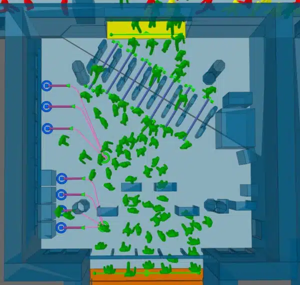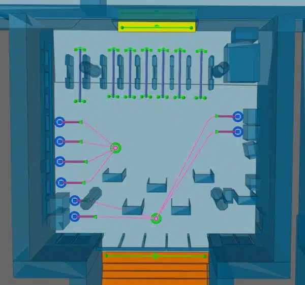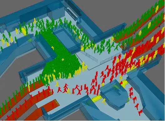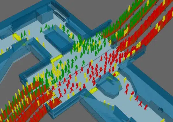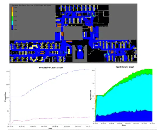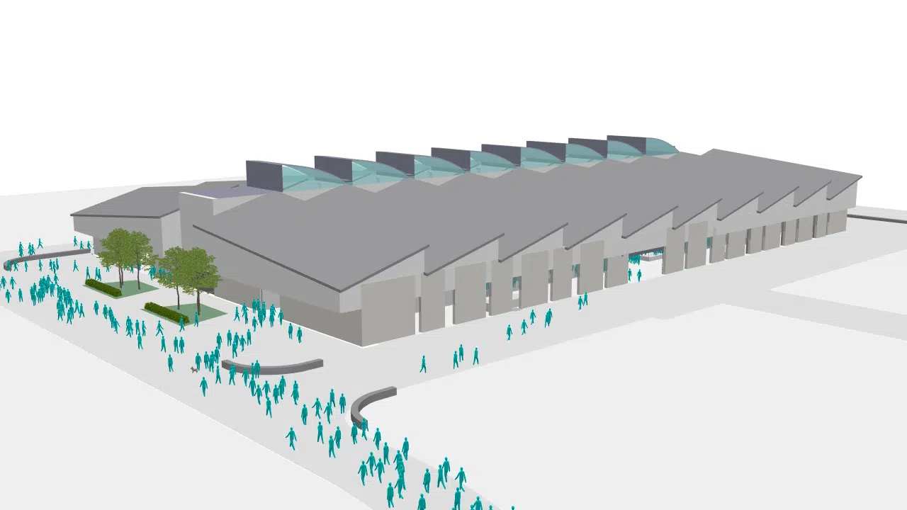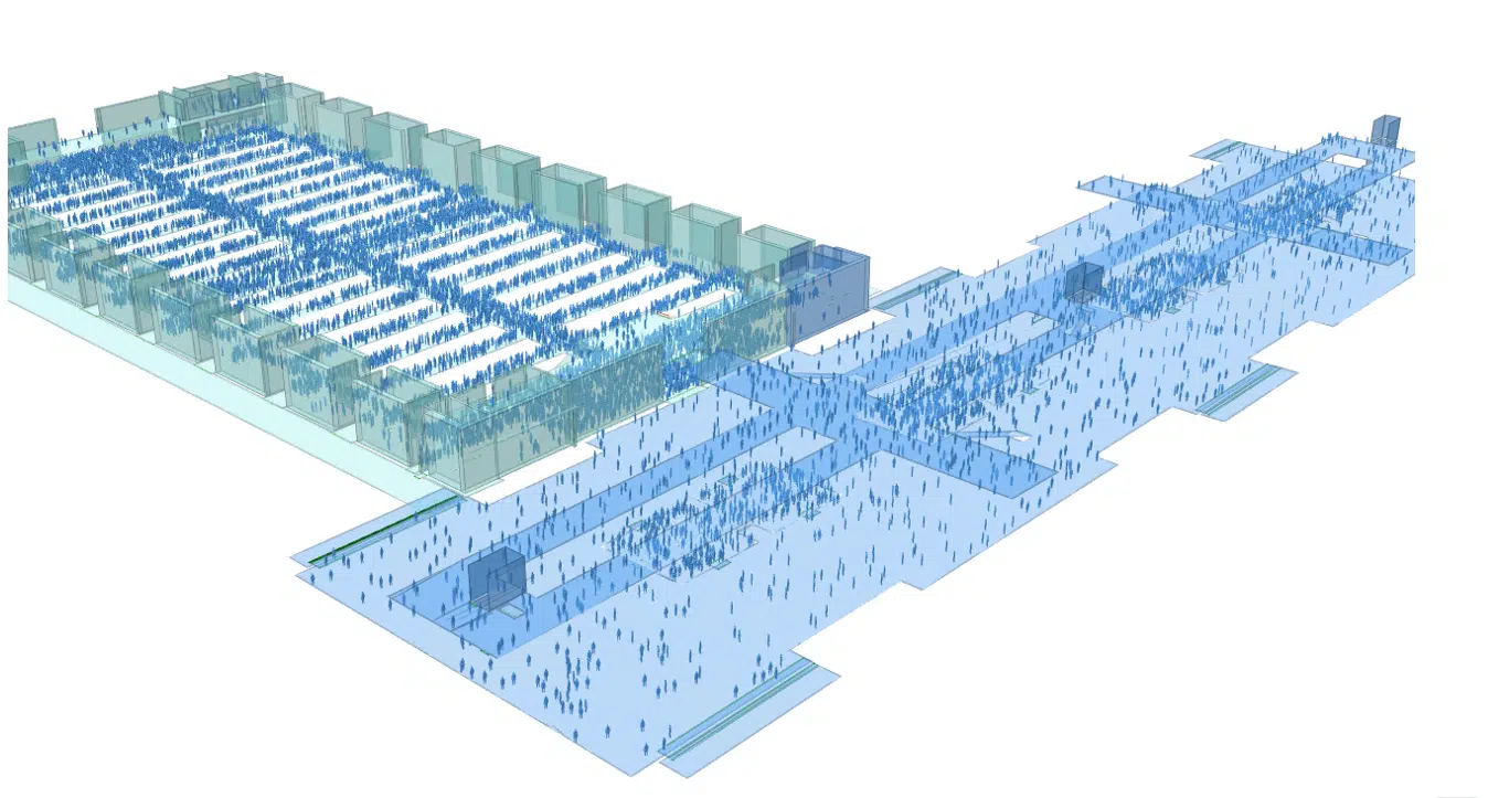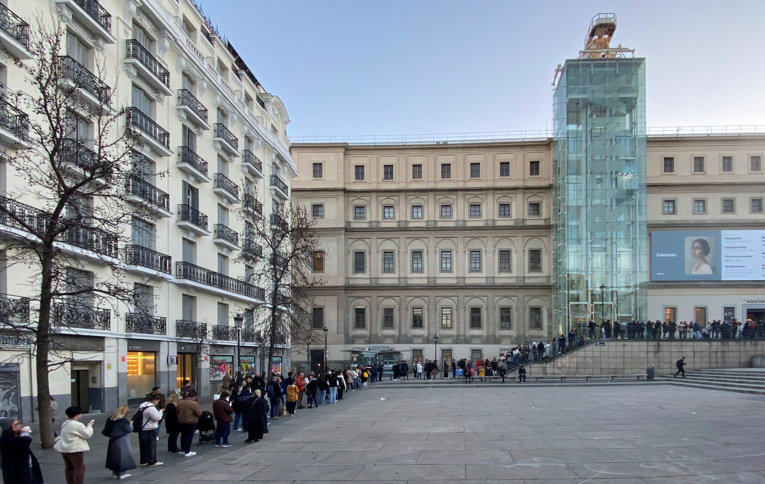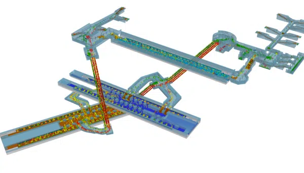
Arup’s people movement team have worked with in-house and external specialists to use reality capture scanning to develop 3D models of existing spaces, where data is unavailable or incomplete. The team have also utilised reality capture to develop realistic 3D models for Oasys MassMotion dynamic simulation. MassMotion can efficiently import 3D models, to enable detailed assessments, which inform and are used to optimise redesign or operation of an existing space. Allowing clients to “walk through” and experience a space provides confidence prior to investment in construction.
Redesigning, repurposing, or reviewing the operation of existing buildings can present challenges including a potential lack of full and accurate 3D spatial records. 3D models can be invaluable to inform redesign by efficiently providing spatial data, thus increasing efficiency and confidence.
Reality Capture Scanning includes the use of technology such as LiDAR (Light Detection and Ranging) and Matterport to capture and process spatial data visually and digitally. The scanning technology uses laser beams to collect detailed 3D point cloud data, to represent the shape and features of a building or structure that can be used for feature extraction and desktop surveys. The high-quality 3D data can be captured for spaces from 1m2 to 100m2 at one time, with measurable outputs of less than 6mm Point Cloud difference. This accuracy allows users to measure the distance between objects and/or areas with accuracy. The point cloud can then be processed using software, such as MicroStation, to convert the output into the format required for pedestrian modelling tools like MassMotion.
3D scanning removes the need for multiple return site visits and reduces the risk of incorrect documentation. Users can revisit a site virtually and take additional measurements using a site explorer walk-through, including output surfaces and 3D models for further design. Therefore, reality capture scanning is very useful for engineering projects, to reduce risk, increase efficiency and improve confidence in the work carried out.

The dynamic interactions between people and spaces have become increasingly important to consider as new technology shapes the way we design, build and experience our surroundings. People movement simulation testing covers a range of built and urban environments, including interchanges, stations, offices, museums, stadia, leisure facilities and much more. These simulations often involve detailed analysis of complex environments using dynamic modelling, which provides qualitative and quantitative results on the operation of a space.
Project examples
Underground Interchange
LiDAR scanning was utilised by Arup to obtain a 3D spatial model of a historic and listed underground interchange station in Eastern Europe. The large and complex interchange station covers multiple levels and includes 3 separate stations, 6 platforms and connects 4 different train lines. The station has a network of long span escalators, which connect the different levels. Passenger levels are high, reaching up to 60,000 people during the morning and evening peak hours. The station is operational 21 hours a day, which restricted the ability to obtain data for the station.
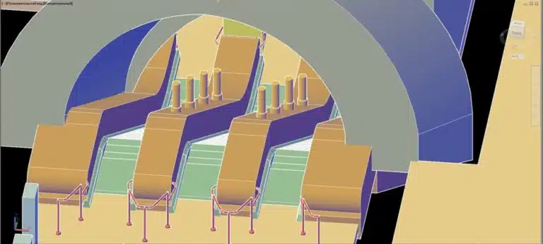
Due to the high passenger volumes the client was interested in investigating options to enhance the operation of the station. The development of a pedestrian model was therefore required to assess different layouts, but there was a lack of precise up-to-date drawings and no information on the height of the different levels. As well as the lack of spatial data, there was also no accurate information on the location of facilities including ticket gates, retail, ticket offices and machines. The accuracy of the location of these elements and other barriers is important to obtain realistic results from the models. The project also had challenging timescales and therefore a quick, but accurate solution was required, therefore reality capture was considered.
Within 2 weeks, the client had scanned the entire structure of the interchange, following the brief developed by Arup, during night-time when the station was closed, and a 3D model had been developed and was ready to be imported into MassMotion.
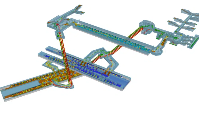
The enhancement options assessed within MassMotion included the optimisation of pedestrian circulation throughout the entire station to reduce the number of crossing passenger flows. This included alterations to escalators, staircases and passage directions. Secondly, the addition of slimmer escalators, to accommodate more escalators within the existing space. Thirdly, the optimisation of entrance and exit group layouts, including changes to ticket gates, retail locations and ticket machine arrangements. Finally, the removal of some of the existing staircases and replacing them with ramps.